Agricultur Research Station B.O — Pincode 506007
Hanumakonda, Telangana
📍 Location Map — Pincode 506007
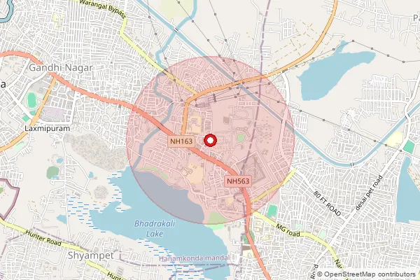
Shaded area shows approximate coverage. Map data © OpenStreetMap contributors.
🏤 Post Offices under Pincode 506007
| Office Name | Type | Delivery | District |
|---|---|---|---|
| Agricultur Research Station B.O | BO | ✓ Yes | Hanumakonda |
| Industrial Estate B.O | BO | — | Hanumakonda |
| K.M.College S.O | PO | ✓ Yes | Hanumakonda |
🔢 How Pincode 506007 is Constructed
Every Indian PIN (Postal Index Number) code is a 6-digit number. Each digit group encodes geographic and administrative information about the delivery area.
The first digit identifies one of India's 9 postal zones. Zone 5 covers Andhra Pradesh, Telangana, Karnataka, MP, Chhattisgarh.
The first two digits together (50) identify the sub-zone. All pincodes in Andhra Pradesh / Telangana begin with 50.
The third digit narrows to a sorting district. The prefix 506 routes mail to the sorting office serving Hanumakonda in Telangana.
Digits 4–5 identify the delivery route or sub-area within the sorting district. Route 00 is reserved for the Head Post Office itself.
The final digit identifies the specific post office. Office 7 designates Agricultur Research Station B.O in Hanumakonda.
❓ Frequently Asked Questions
What is the pincode for Agricultur Research Station B.O?
The pincode for Agricultur Research Station B.O is 506007. It is a BO located in Hanumakonda, Telangana.
How many post offices are in pincode 506007?
There are 3 post offices operating under pincode 506007 in Hanumakonda, Telangana.
Is delivery available at pincode 506007?
Yes, delivery is available at pincode 506007 through Agricultur Research Station B.O and its associated offices.
Which district does pincode 506007 belong to?
Pincode 506007 is located in Hanumakonda district in the state of Telangana. It falls under the Telangana postal circle.
What postal zone is pincode 506007 in?
Pincode 506007 falls in Zone 5 — Southern & Central India. The sub-zone prefix 50 corresponds to Andhra Pradesh / Telangana.
🏤 Types of Post Offices in India
India Post operates a hierarchical network. Pincode 506007 is served by a BO.
The primary administrative hub for a postal division, overseeing all sub-offices and branch offices in its area.
The chief post office of a major city or state, handling the largest mail volume and often housing the Postmaster General.
Operates under an HPO, providing all standard postal services in urban and semi-urban areas.
The smallest tier, typically in rural areas. India has over 130,000 branch offices — the largest postal network in the world.